Posts

Day 6 - WAA Line

Image
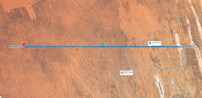
  Today had a lot of ups and downs!  The sand got softer as the day went on and the dunes started to get steeper and more cut up - to the point that one dune had us both having to give it a second go.  The FJ needed to be in low range with some more right foot whereas I needed to drop some tyre pressure as I dropped off the wall of a cavernous hole (well big for a jimny) which left my wheels spinning in the air. Took a few photos and videos this morning before packing up - click on the following link for further photos and videos: WAA Desert Island Camp We took off from our camp at the start of the WAA line and headed west.  This was the third day of desert driving and on our last crossing I was in 4WD high for most of the day on the French Line running around 13 PSI.  On the WAA Line, I spent most of the day in low range, most likely due to the fact that I was running around 18 PSI given our concern around the cuts in my sidewalls thanks to the rocks between Wi...
Day 5 - Lake Thomas to WAA Line

Image
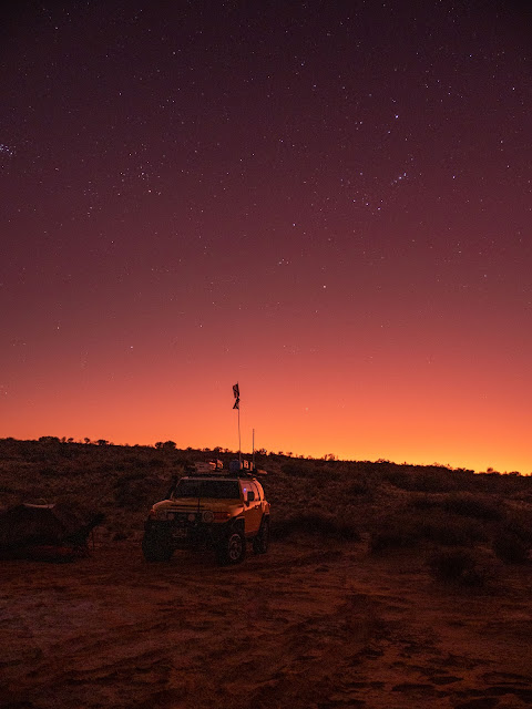
  Day 5 of the trip and the third day in the desert started cold but we woke to an amazing desert sunrise.  It was -3 degrees celcius and we were hidden below dunes so had to wait for a while before the sun started to warm up.  We had decided on a slow start after a long days drive yesterday. Note to self, we were on a schedule to have three nights and four days to cross the desert, but it was just a bit rushed.  It would be easy to take it easy and spend an extra night on the crossing.  Not sure I understand people rushing across and trying to do the crossing in a day. Click on the following link for some photos and videos of the morning spent on Lake Thomas: Lake Thomas - Morning So after a late start we headed west on the French Line until we found the start of the Knolls Track which heads south past the Approdina Knolls (hence the name of the track).  On our last trip we went to visit the Approdina Knolls and then came back to the French Line and camped...

Day 4 - Birdsville to Lake Thomas (Part 2 - Eyre Creek to Lake Thomas via Poeppels Cnr)

Image
  After lunch at Eyre Creek, we continue on to Poeppels Corner, turning left after the first salt pan down the K1 line and then across to Lake Poeppel. With the shadows lengthening we had a short stop at Poeppels corner before contining on to find a campsite near Lake Thomas.  There were a couple of people camping on the hills over looking the lake so we decided to check out the bank of the Salt Pan and camp at ground level which was a change to the usual campsites. For more videos and photos, click on the following link: Eyre Creek to Lake Thomas